From aquisition to delivery
Industry-leading data lifecycle and quality control from acquisition to delivery.
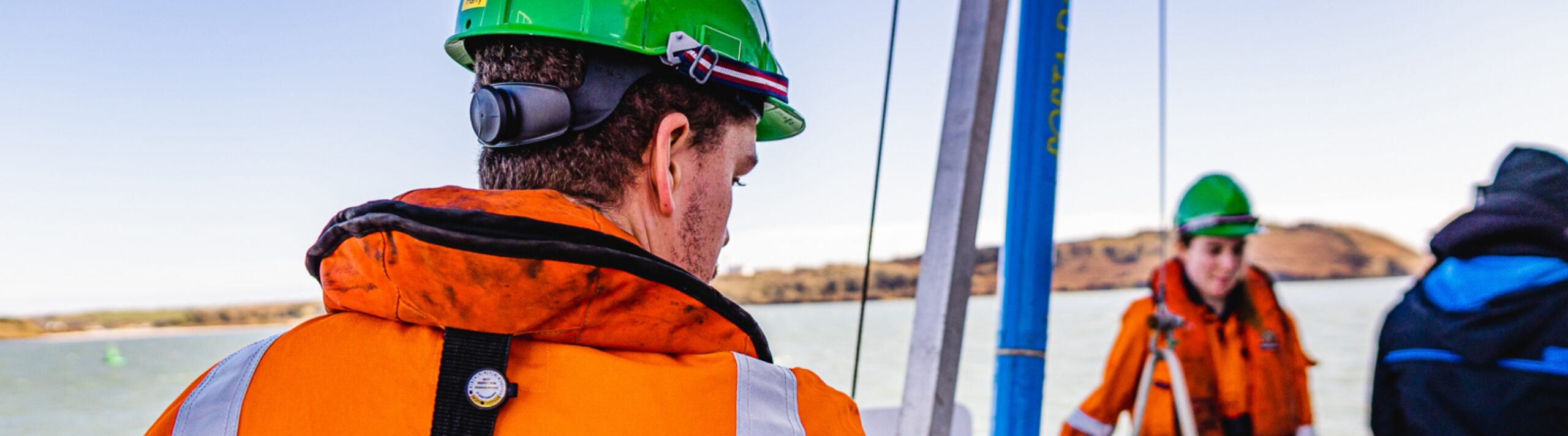
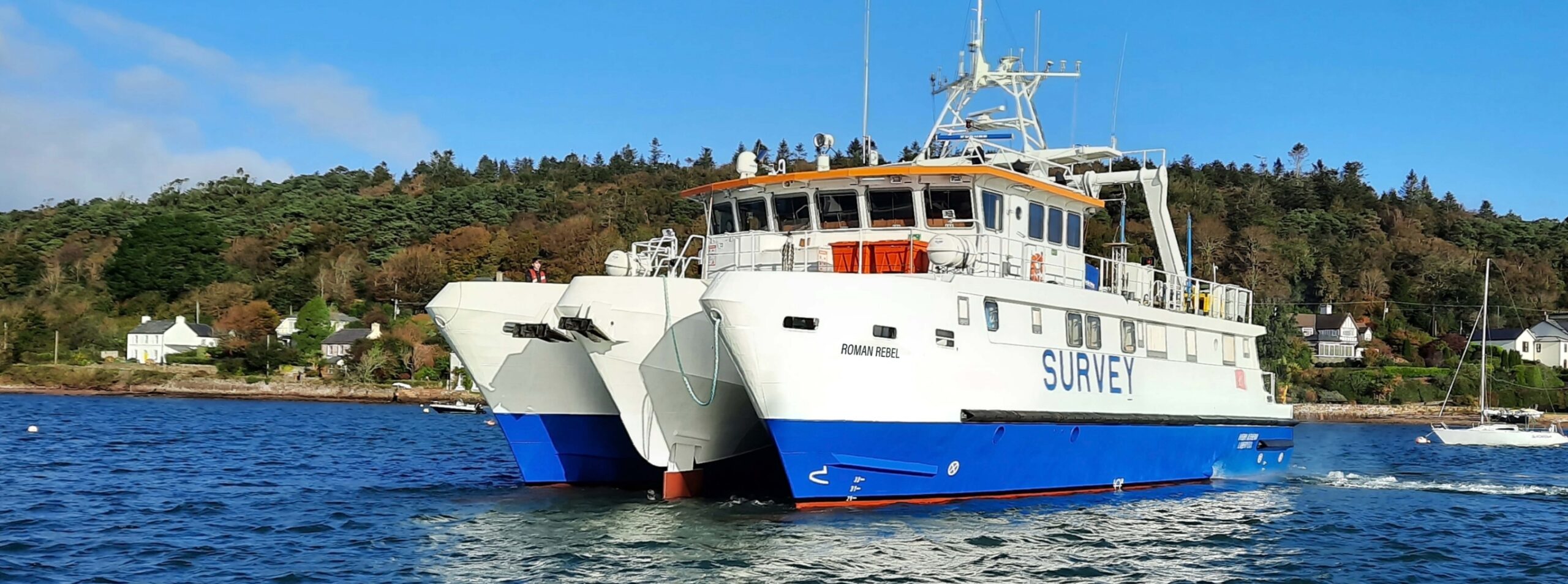
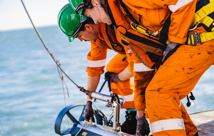
Specialist data acquisition, processing and analysis utilising unique, purpose-built vessels supported by sophisticated positioning equipment and best-in-class technologies. All backed by a world-class, expert team, pioneering ground-breaking data acquisition and interpretation methodologies.
Marine services
Geophysical surveying
Providing a range of survey types to assess seabed and strata, building a ground model to bedrock. Using best-in-class technologies including a dual multibeam echosounder configuration and parametric sub-bottom profilers, we produce accurate and high-resolution data. Our established, passionate, expert team, processes and analyses all data, driving fully informed, lower risk developments.
Hydrographic surveying
Advanced, technical and high resolution surveying powered a by dual-head multibeam system.
Our work is powered by a dual multibeam echosounder configuration which is used for both bathymetric and backscatter surveys. This dual multibeam echosounder setup offers full coverage which is proven to deliver high-resolution bathymetric data and enables a significantly reduced survey time, while achieving and surpassing industry standards. Our vessels can operate multibeam echosounders effectively across a range of conditions and depths, from the shallow coastal waters, inlets and harbours, to deeper shelf seas.
Side-scan Sonar Surveying
Identify hazardous objects with high-resolution seabed images.
Side-scan sonar offers high resolution data that can identify small, hard to detect objects, such as sharp boulders or small outcrops of bedrock, helping to build a clearer picture of the seabed landscape. Side-scan sonar also allows for digital seabed interpretation backed by the insights from the multibeam bathymetric survey, the data can contribute to the beginnings of a ground model.
Magnetometry Surveying
Identify magnetic anomalies and magnetic field changes.
Using a high-resolution, highly sensitive G882 caesium vapour magnetometer, we create a digital raster of magnetic anomalies, noting and mapping their locations. The survey helps to plot known infrastructure, such as cables, as well as to identify hazards including UXOs and possible shipwreck locations. In addition, we can also tow up to twelve G882 magnetometers in a gradiometer array to measure increased changes in the magnetic field, ideal for UXO clearance surveys.
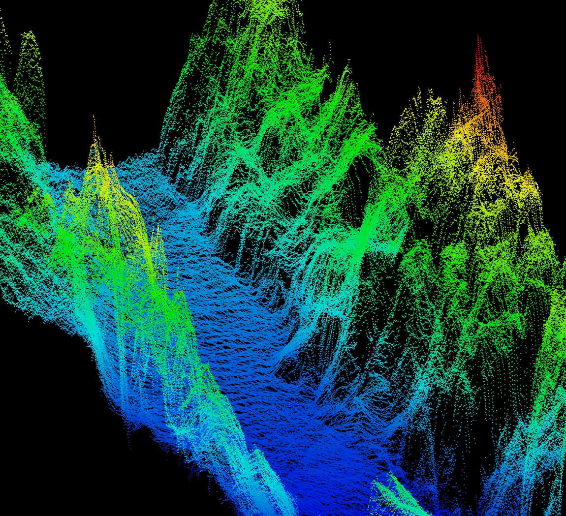
Sub-bottom Profiler Surveying
Cutting-edge technology mapping strata and full depth to bedrock.
Encompassing a 2D cross-section of the sediment, our sub-bottom profiling maps the strata before getting to bedrock, and also measures full depth to bedrock. Using cutting-edge parametric sub-bottom profilers, strata is mapped with a minimum of 5cm resolution vertically, and provides high quality industry standard datasets. This survey also helps to establish primary structures in the sediment, such as previously infilled paleochannels.
Seismic Investigation Surveys
Bedrock imaging to build a full and complete picture.
A deep, ultra-high resolution, 2D seismic survey, often done after, or in conjunction with, the other geophysical surveys. Used for analysing the depth to bedrock to ensure there are no voids or faults, to form a clear picture of exactly what will be built on, beyond the hazards identified in the other surveys.
Informed decision making
Our expertise spans the entire data lifecycle – planning, acquisition, analysis, interpretation, reporting through to delivery – ensuring our clients have the best insights, to inform the best decisions.
Green Rebel Data Model
- Acquisition
- Processing
- Analysis
- Interpretation
- Reporting
- Delivery