Expert data acquisition
and analysis
Advanced, precise, digital aerial marine ecology monitoring.
Complete digital aerial marine ecology survey workflow from survey design and data acquisition to analysis and reporting. Featuring advanced technologies including high-resolution cameras and high-precision georeferenced imagery, backed by our own proprietary, purpose-built software including AI for advanced image classification
All data captured from our specialist survey aircraft is analysed by a team of expert ecologists with decades of experience in species identification. Precise, complete mapping of species distribution and abundance in the offshore environment.
Services
Complete aerial marine ecology survey workflow
Lean on our team of experts to deliver a full, end-to-end aerial marine ecology survey workflow. Expertly planned and precisely executed to help accelerate your project.

Survey Design
Precision planning for a successful programme.
Our expert team take into consideration a number of key parameters, including proximity to Special Protected Areas (SPAs) or Special Areas of Conservation (SACs), bathymetry and benthic habitat. This strategic design maximises the accuracy of the survey data and ensures adequate precision for detecting changes post-construction.
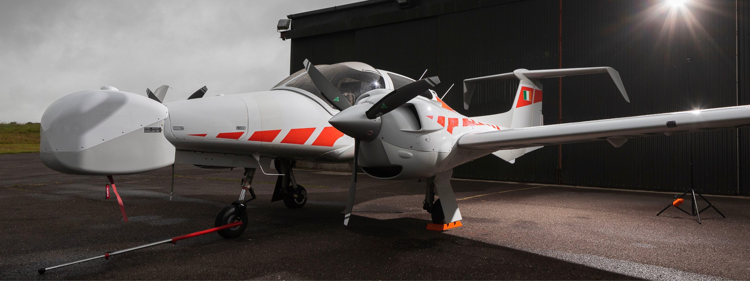
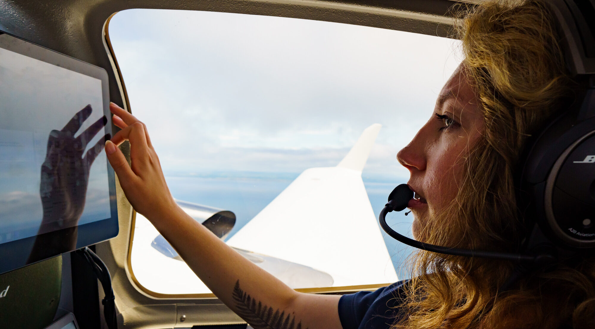
Data Acquisition
Faster, higher-quality data acquisition.
High-quality data acquisition using our own specialist aircraft. Featuring state-of-the-art, high-resolution aerial cameras that allow us to fly above the recognised disturbance threshold, ensuring a low-noise and faster data acquisition process. All overseen by our expert aerial team, ensuring quality control throughout.
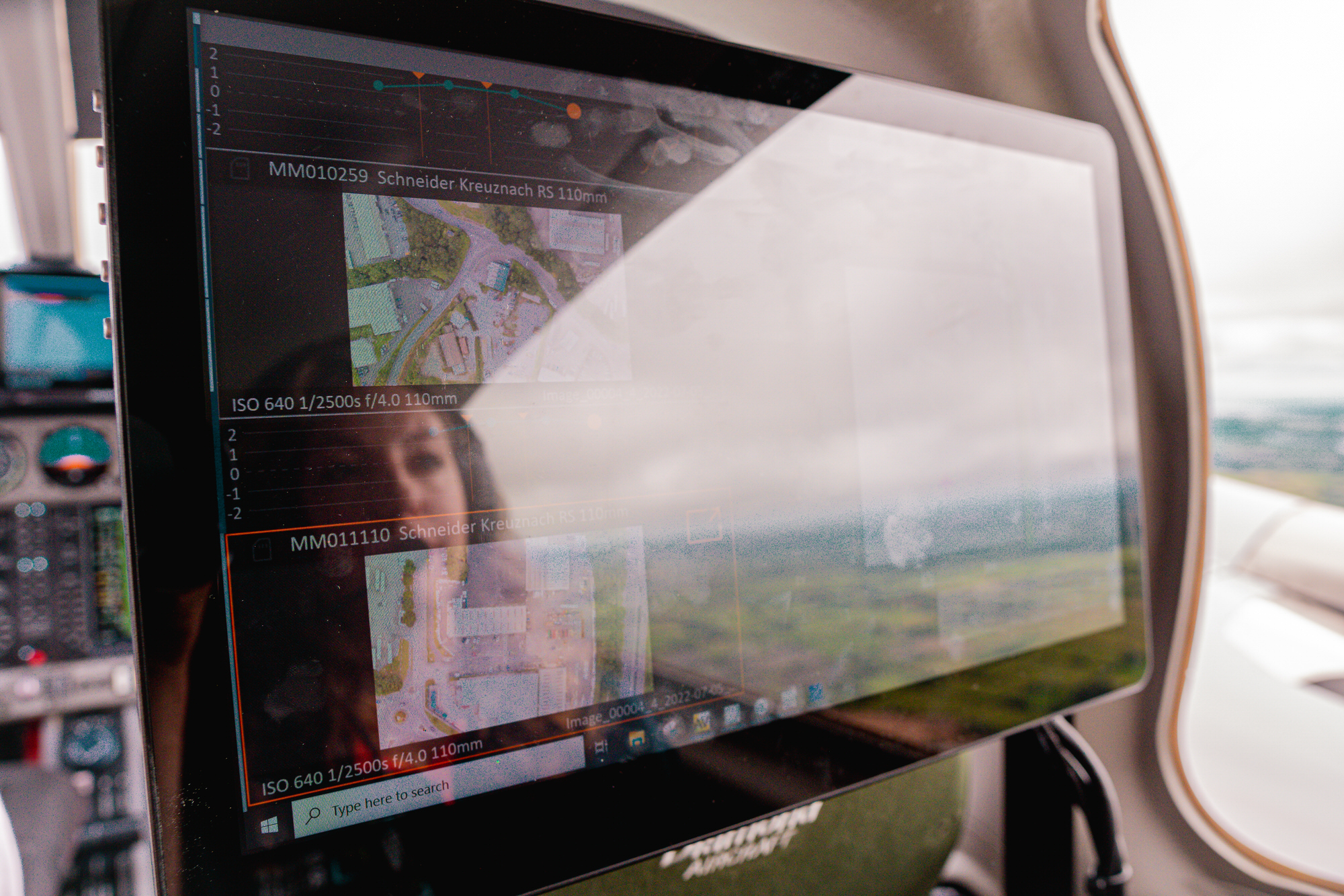
Image Production
Location measurements to within 10cm.
Images are captured using a gyroscopically stabilised mount to minimise motion blur, supported by a high-precision GNSS-INS, allowing for highly accurate georeferencing. Powering precise estimations of bird or mammal body length and allowing for pinpoint location measurements to within 10cm.
Screening
Bespoke technologies for highly accurate image classification
Our bespoke software systems, which includes AI tools, are purpose-built for use in offshore digital aerial marine ecology surveys and tailored to locate the species likely to be observed in the local environment. Our experienced image analysts, backed by thorough quality control processes, leverage these systems to deliver highly accurate classification.
Species Identification
Expert analysis and identification.
Trained and highly qualified ecologists identify biotic signals within our imagery to species-level. Key attribute information, such as bird body size, are gathered to inform further analyses such as collision risk modelling.
Species Mapping
Recording species distributions, densities and behaviours.
Across the survey period, we develop a detailed understanding of species distribution, densities and behaviour. With extensive expertise in both design- and model-based analytical techniques, our experts have developed robust and externally audited workflows that help to guide and inform decision making.
Reporting
Detailed reporting to fully inform your projects.
We summarise all data, insights and findings into comprehensive, detailed reports that fully inform and guide all projects.

Team Lead
Sarah Kandrot, PhD
Sarah has over 10 years experience in the application of geoinformatics technologies to environmental, coastal, and marine projects. She holds a PhD in geography from University College Cork, where she also worked as a lecturer and a postdoctoral researcher on a range of projects in marine renewable energy and coastal studies. Sarah’s previous role was co-PI on an EU-Interreg funded project on the applications of UAV technology to coastal zone management and sustainable development. She also worked as an environmental consultant on a range of sustainable energy projects. In addition to Sarah’s published academic research, she has co-edited the Coastal Atlas of Ireland – an award-winning atlas published in 2021. As head of the aerial division, Sarah has built partnerships with experienced industry players to develop and implement our digital aerial marine ecology monitoring system. Sarah is driven by her commitment to Ireland’s transition to renewable energy, while protecting our diverse marine wildlife and supporting smart, evidence-based decision making.